RayCaster
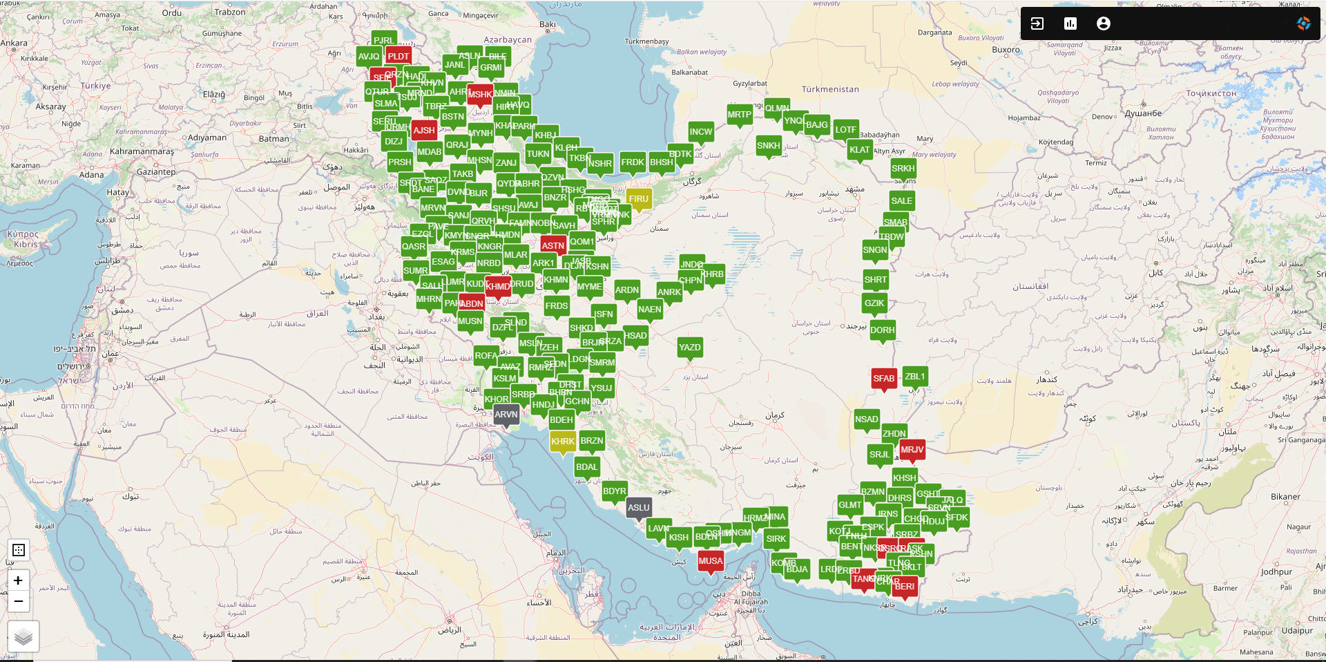
The RayCaster NRTK Network is a national precise positioning system that provides network-based RTK (NRTK) corrections across Iran. Built on a network of 193+ permanent CORS stations equipped with iRNetII and iRNetIII receivers, it delivers real-time corrections via the internet using the NTRIP protocol and RTCM3 data format. With centimeter-level accuracy (8mm + 0.5ppm) and support for GPS, GLONASS, Galileo, and BeiDou, RayCaster serves professional applications in surveying, engineering, precision agriculture, and GIS. Its Internet Base feature for GIS enables direct integration of spatial software with real-time correction data streams. Featuring automated nearest-station selection, 24/7 reliability, and a distributed, redundant architecture, RayCaster ensures consistent high-accuracy positioning nationwide. The system significantly enhances spatial data quality, reduces field equipment costs, eliminates baseline limitations, and supports the advancement of geospatial technologies across Iran
Stack
Deployments
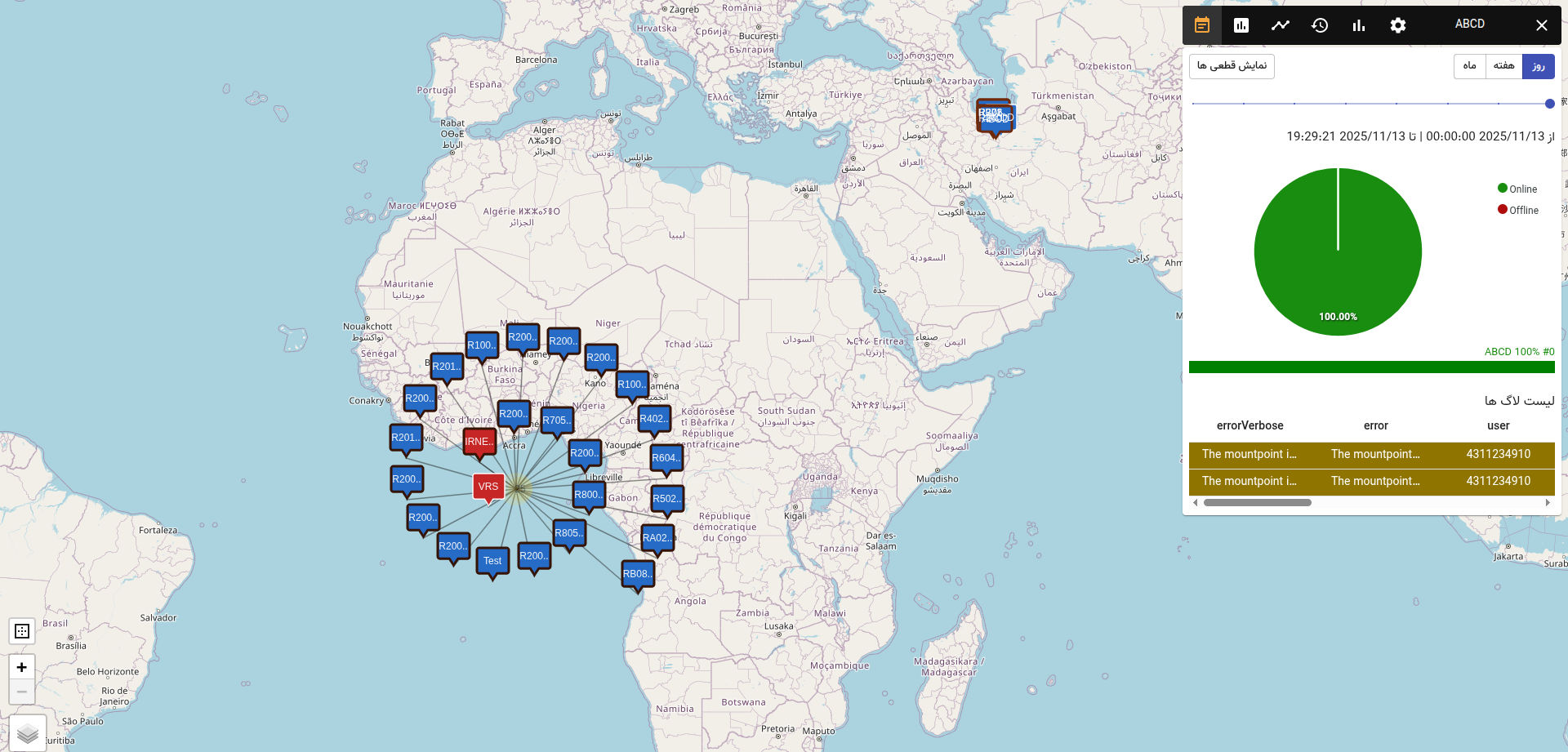
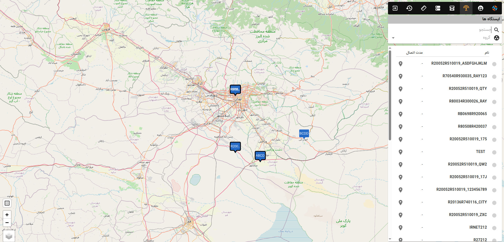
Screenshots